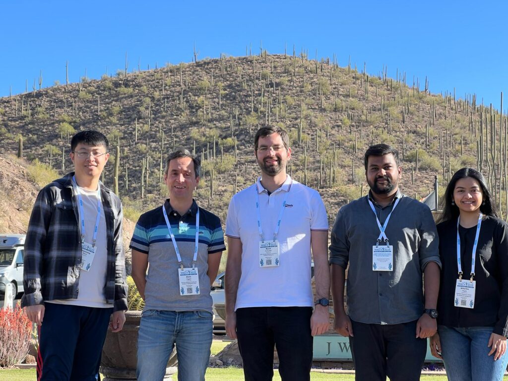
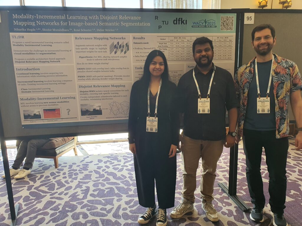
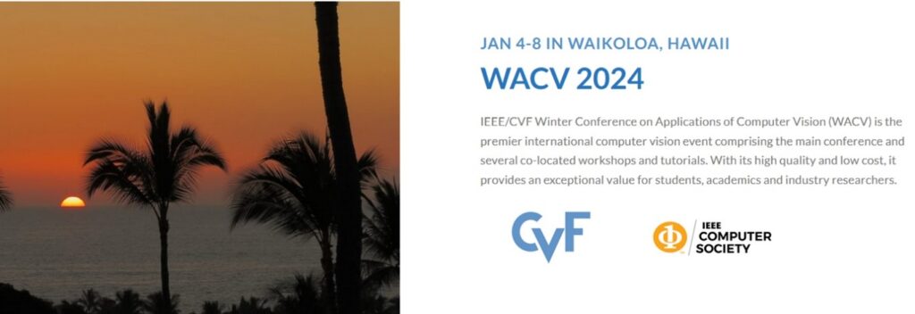
The department Augmented Vision has presented 3 papers at the WACV 2026 conference taking place on March 6-10, 2026 in Tucson, USA.
WACV, the IEEE/CVF Winter Conference on Applications of Computer Vision, is a top-tier conference for computer vision topics.
The 3 accepted papers are:
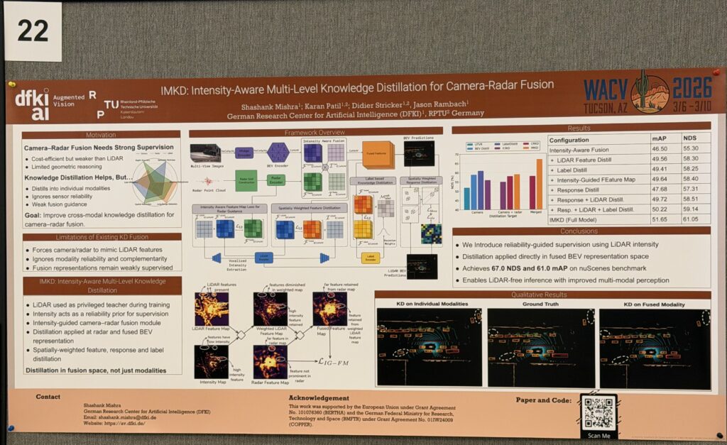
IMKD: Intensity-Aware Multi-Level Knowledge Distillation for Camera-Radar Fusion
Shashank Mishra, Karan Sanjay Patil, Didier Stricker, Jason Raphael Rambach
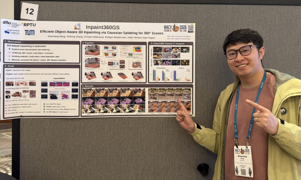
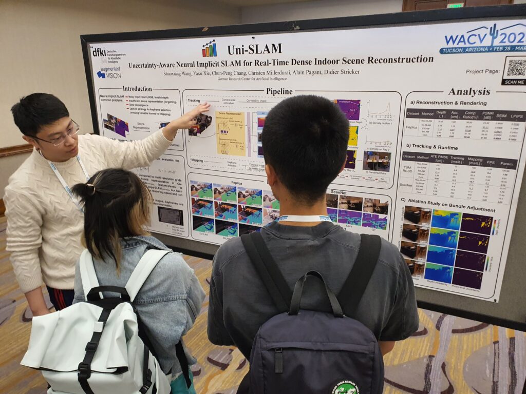
Inpaint360GS: Efficient Object-Aware 3D Inpainting via Gaussian Splatting for 360° Scenes
Shaoxiang Wang, Shihong Zhang, Christen Millerdurai, Rüdiger Westermann, Didier Stricker, Alain Pagani,
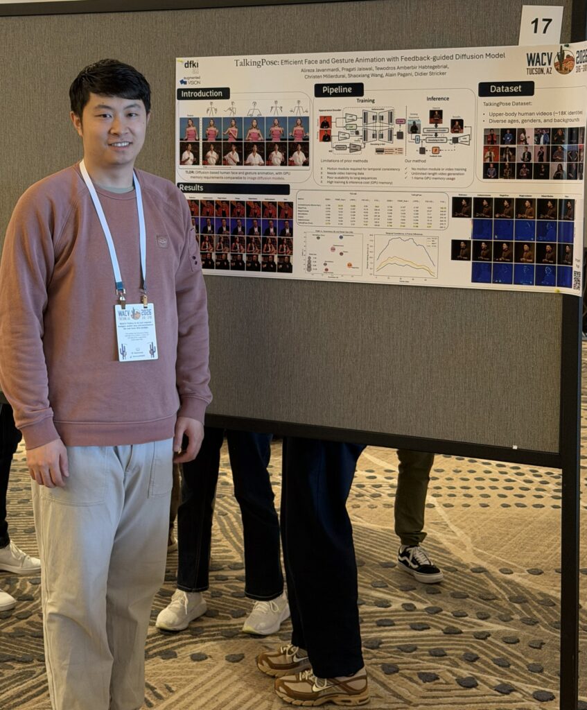
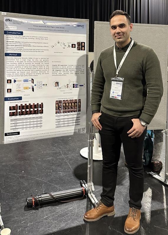
TalkingPose: Efficient Face and Gesture Animation with Feedback-guided Diffusion Model
Alireza Javanmardi, Pragati Jaiswal, Tewodros Amberbir Habtegebrial, Christen Millerdurai, Shaoxiang Wang, Alain Pagani, Didier Stricker
Contact: Alain Pagani, Jason Rambach


